

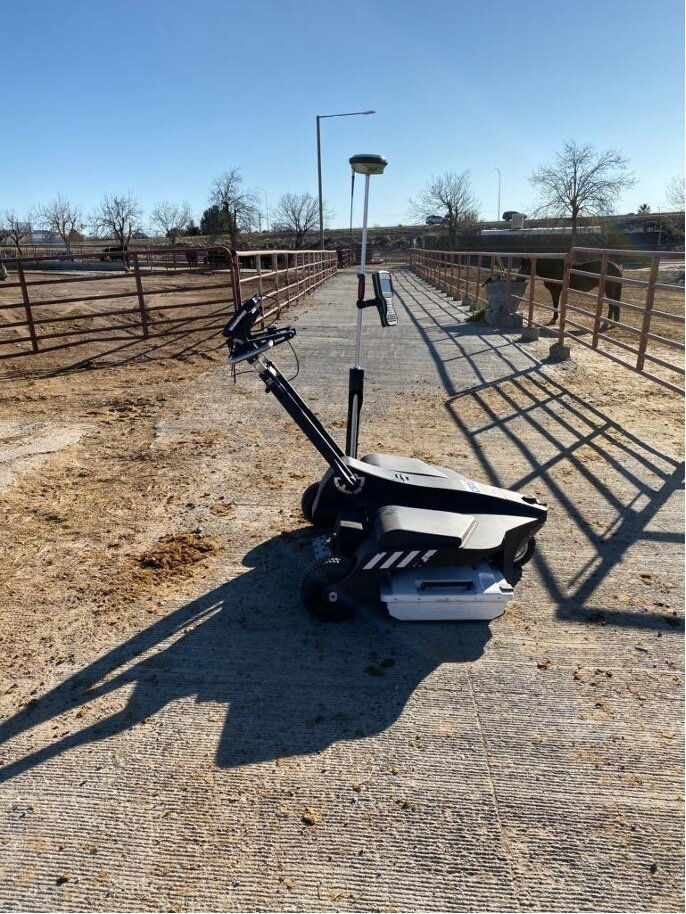
New Mexico State University (NMSU) Ag Area
Las Cruces, New Mexico
Locate, verify, and map all known and unknown utilities.
Subsurface Utility Engineering Survey Level B-D

National Nuclear Security Administration (NNSA)
Complex Building and Survey Grade Site Layout with conventional methods and applications.
Provided 1/16 of inch building structural layout and verification along and conventional site layout of all structural and hydrology features.
.jpeg)
Isotopes Baseball Field
Albuquerque, New Mexico
3D LIDAR scanning to map the bracing for future net improvements.

ABQ Biopark Zoo
Perform Topographic Design Survey and SUE Level A-D services and to identify all known and unknown utilities.
Provided 3d Terrestrial Laser scanning, GPS, and SUE Level A-D.

Bernalillo County at Alvarado Square
CSTi provided multiple services all in house including 3D Laser Scanning, UAV "Drone" Mapping, Building Information Modeling (BIM) and Boundary survey. All part of a value integration effort.
Total Renovation Cost: 53.7 Million
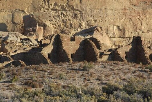
Chaco Canyon
Chaco Culture National Historical Park, New Mexico
Provided design surveys of specific sites for cultural preservation.